Aerial archaeology J. Dassie. Geophysical prospectings
GEOPHYSICAL PROSPECTINGS
Excavations and surveys are heavy operations. Before starting them, one often prefers to carry out noninvasive and nondestructive investigations on the ground : they are the geophysical prospections.
Geophysical prospections consist in measuring physical parameters on the surface of the ground and has to chart the results of them, thus revealing all heterogeneities due to possible hidden structures.
Main measurements :
- Resistivity.
- Gravimetry
- Magnetic field
- Radiations
For that, the site is squarred in order to rigorously be able to locate each point of measurement. Each measurement will be recorded automatically, with its co-ordinates, by data processing. Very sophisticated hardware exists, but asks for their implementation the collaboration of teams specialized in the scientific laboratories.
This information will be processed to give a graphic weight to each point, by taking account of made measurement, as well as filterings or corrections intended to improve the visibility of detected indices. The results will be printed to draw up the cartography of the site with repressentation of the anomalies. The example, carried out below by the Faculté de Tours (Fr), shows 20000 points of measurement of resistivity.
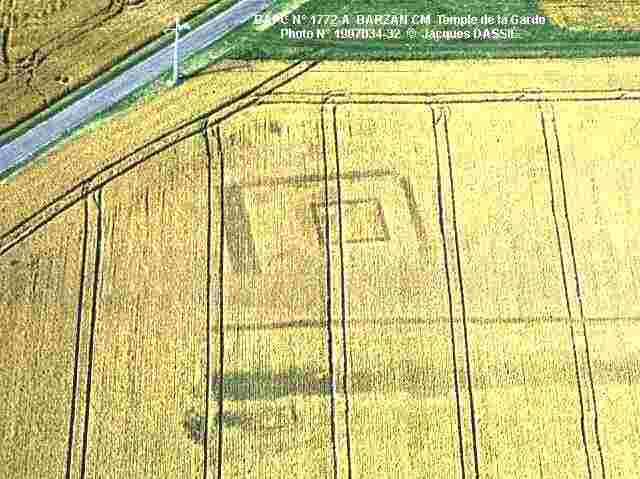
BARZAN CM, the Temple de la Garde. Opposed to the Moulin du Fâ , at the end of the Grande Avenue, the Temple de la Garde is magnificently revealed by the differential maturation of cereals. © J. Dassié
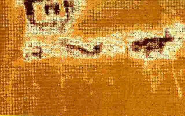
BARZAN CM, the Temple de la Garde. The rectangular Temple de la Garde and its cella are revealed here by the results of geophysics prospections (resistivity) carried out by the Laboratoire de Sciences of the Faculté de Tours, by Delaunnay and Kermorvant. Numerical adaptation © J. Dassié.